
Tips For Staying Safe in the Backcountry
Ute Mountaineer | Aspen, Colorado
Colorado is in the middle of an active, difficult fire season, and the Roaring Fork Valley is not immune. It's clear that preparing for the possibility of wildfire or wildfire smoke when we head into the backcountry is more important than ever this summer. Here's what our team wants every hiker, biker, climber, and camper to know right now — plus the general habits that will serve you well all season and every season.
Current Conditions Near Aspen
(Updated July 2, 2026)
Before you plan your next trip, know what's happening around us:
Stage 2 Fire Restrictions are in effect in Pitkin, Eagle, and Garfield counties. That means no campfires, charcoal grills, wood-burning stoves, or fireworks — anywhere, including on private property. Contained propane/gas stoves and grills are still allowed, but keep them at least 10 feet from dry grass and vegetation.
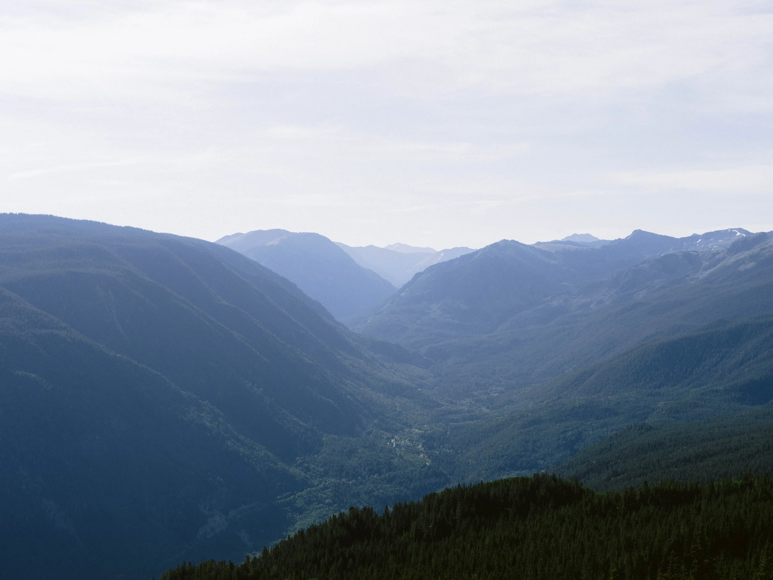
The Roaring Fork Valley is in exceptional drought, the most severe category tracked by the U.S. Drought Monitor. River flows are running at a fraction of normal, and fuels are as dry as they get.
The Willow Fire is burning about 6 miles west of Leadville near Turquoise Lake, roughly 2,100+ acres and still at 0% containment as of this week. It's a couple hours from Aspen, but it's a good reminder that Sawatch Range and upper valley trips (Turquoise Lake, Mount Massive, Mount Elbert approaches) may be affected by closures or smoke — check current status before you go.
Smoke has repeatedly settled over Aspen and the Western Slope this season, driven both by regional fires and by large fires burning in Utah and Nevada. Even on days with no local fire, don't be surprised by hazy skies or air quality advisories.
Multiple other large Colorado fires (Snyder Fire near the Utah border, Aspen Acres Fire near Pueblo — note: not near our Aspen — and others) are pulling firefighting resources statewide, meaning response times and resource availability may be tighter than usual.
Bottom line: You should be considering fire and air conditions before heading out into the backcountry. Build in flexibility, check conditions the morning of your trip (not just the week before), and have a backup plan.
Know Before You Go
Check resources in advance. Take advantage of tools that give you information months, weeks, and hours ahead of your trip.
Pack gear with wildfire in mind. Satellite communication devices and radios are all worth considering — ask our staff for recommendations.
Know what to do if you encounter smoke. The color and behavior of smoke can tell you a lot about what's happening and what to do next.
Know what to do if you encounter flames. Your response depends on where you are relative to the fire.
Have a backup plan for your trip. Don't head into danger just because you don't want to change your plans.
Smoke is not just a temporary irritant. It's a mix of gases and microscopic particles that can penetrate deep into your lungs, and prolonged exposure can cause real, lasting harm — especially for kids, older adults, and anyone with asthma, COPD, or heart or lung disease.
Recommended Resources
Air quality: AirNow.gov — check the Air Quality Index (AQI) for Aspen (81611) before you head out, and check the smoke advisories map for real-time smoke conditions near your route. If AQI is "Unhealthy," switch to a Plan B. If it's "Unhealthy for Sensitive Groups," healthy adults can use judgment, but sensitive groups should reschedule or pick a lower-elevation, indoor, or less strenuous alternative.
Pitkin County fire restrictions & emergency info: PitkinEmergency.com — the official source for current fire stage, closures, and alerts.
Sign up for Pitkin Alerts for real-time emergency notifications for our county.
Watch Duty — a free app tracking active wildfires in real time, including the Willow Fire and others statewide.
White River National Forest — check for trail and area closures before backcountry trips, especially toward Independence Pass, the Sawatch Range, and the upper valley.
National Weather Service — check for Red Flag Warnings, which signal conditions ripe for fast, unpredictable fire spread.
Local land managers / ranger stations — call ahead for last-minute closures, especially after a Red Flag day.
Pack Your Gear with Wildfire in Mind
Satellite messenger. Cell service is unreliable in much of our backcountry — these devices let you call for help and, with many models, message someone at home who can check on nearby fire conditions.
NOAA weather alert radio or a Rocky Talkie. NOAA's alert system now covers all hazards, including wildfire emergencies. A 5-Watt Expedition Radio model can allow you to tune into live weather updates that include wildfire emergencies.
Thick-soled boots. If you're headed into an area with any recent burn history, boots with soles that can handle some ground heat are a smart upgrade over trail runners.
Stop by the shop — our staff can help equip you with the right gear.
What to Do If You Encounter Wildfire Smoke
Smoke and ash can travel a long way — sometimes across the globe — so don't panic at the first whiff or haze. But don't ignore it either, especially if it lingers or worsens.
White smoke usually means fast-burning, finer fuels like grass — often shorter-duration fires.
Dark smoke means thick brush or timber is burning — this can mean a longer-lasting fire with the potential for "spotting," where embers are carried ahead and spark new fires, sometimes jumping natural fire breaks like rivers or roads.
A growing smoke column means a growing fire — get out of the area.
The direction a smoke column bends tells you which way the fire is moving. Head the other way.
A yellowish-orange to red hue in the sky means unhealthy air. It's probably time to leave.
Remember: smoke settles into valleys and basins at night, so you may wake up to hazier conditions than when you set up camp.
What to Do If You Encounter Wildfire Flames
If you see flames, retreat in the opposite direction. You don't need to outrun it — fire moves as fast as the wind — but you do need to move away from where it's headed.
A nearby, rising smoke column — especially one bending toward you — means it's time to go.
Watch for dry lightning (visible flashes with no rain). In high fire-danger conditions, this is a signal to head out.
Fires move uphill faster than downhill. Don't try to escape over a ridge unless you're near the top and can drop quickly down the other side.
If fire gets dangerously close, head for a large flat area with little vegetation — rocks, meadows, or shallow lakes and creeks have little fuel to attract or feed the fire.
Already-burned, blackened ground can be a safe route — the fire has likely moved on and there's little fuel left to draw it back.
In a recently burned area, watch for falling snags and hot ash pockets (smoldering gray/white piles). Ground heat can also damage the soles of lightweight shoes.
How to Report a Wildfire
Call 911 immediately, or as soon as you reach cell service. Be ready to share your location (GPS coordinates if you have them), plus the color and size of the smoke column, nearby landmarks, and any human activity you've observed in the area — even if you think it's already been reported.
Protect yourself and help us protect these wild places we love. Carry a Satellite Communication Device, stay informed, and follow the Fire Restrictions in place.
